
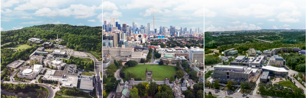
Just before leaving by bike to interview U of T transportation guru Eric Miller, I checked my smartphone for new email. Fifteen minutes later, as I walked into the Galbraith Building on the St. George campus, I checked it again, to remind myself of his office number. When I shared this story, Miller, a professor of civil engineering and director of U of T’s Transportation Research Institute, pointed out that my carrier’s cellphone system captured the time and location of both queries, and that this information could be put to good use.
While these data points didn’t reveal my mode of travel nor my path, a sophisticated transportation model might surmise that I cycled, using the locations and time elapsed.
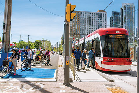
This kind of raw information traditionally hasn’t found its way to transportation planners because it wasn’t accessible. Yet in the next several months, Miller and an impressive interdisciplinary team will launch iCity, a series of 10 projects meant to tap into the vast troves of digital data that, when analyzed and combined with rider surveys, census tables and other demographic information, can be used to paint a much more granular and timely picture of how residents of the Greater Toronto Area and Waterloo, Ontario, move through their cities. The projects will focus on everything from public transit and parking management to the development of more responsive technical platforms for crunching the numbers, as well as “toolkits” to help planners create “complete streets” designed to accommodate pedestrians of all ages and abilities and all types of vehicles.
But the goal of iCity, Miller stresses, isn’t merely descriptive; it’s also meant to be a diagnostic tool to help decision-makers and residents understand how their planning and transportation investment choices will affect their cities. “The data are your eyes and ears to see what’s going on in the real world,” explains Miller. He points out that the iCity projects will use a lot of real-time digital information to make the analysis more exact. “It’s a living lab concept.”
The U of T initiative involves several institutional and private-sector partners, including the City of Toronto, Metrolinx, Waterloo Region and OCAD University, as well as IBM Canada. In addition to data from on-road traffic sensors, the investigators hope to gain access to an array of travel-related digital sources, including Presto card readings (such as when GO Transit or TTC riders tap their cards to enter a transit vehicle), GPS data from fitness trackers and payments to municipal parking systems, including meters and a new smartphone app that informs drivers of space availability (and thus indicates how drivers use the information).
By combining these real-time sources with the Transportation Research Institute’s models, which project travel patterns using historical information from rider surveys, Miller says iCity will allow planning officials to better demonstrate how different transportation projects – such as a new subway or LRT line, or building “complete streets” – will affect communities and the surrounding city. Miller will also draw on expertise from OCAD University to develop new techniques for visualizing and mapping travel patterns.
The overarching aim is to help cities make more informed choices about how they function and grow. Says Miller: “We have to get to the point of telling good stories to the bureaucrats and politicians that say, ‘This is how a proposed investment really works and this is why it is or isn’t a good idea.’”
Recent Posts
U of T’s 197th Birthday Quiz
Test your knowledge of all things U of T in honour of the university’s 197th anniversary on March 15!

Are Cold Plunges Good for You?
Research suggests they are, in three ways
Work Has Changed. So Have the Qualities of Good Leadership
Rapid shifts in everything from technology to employee expectations are pressuring leaders to constantly adapt